ABOUT
PRACTICAL EXPERIENCE. MODERN AERIAL CAPABILITIES.
Digital Peaks Aerial combines real-world field experience with professional drone systems, advanced imaging, mapping, automation, and media production. The goal is simple: understand what needs to be accomplished, use the right technology for the job, and deliver useful, professional results.
BUILT ON REAL-WORLD EXPERIENCE
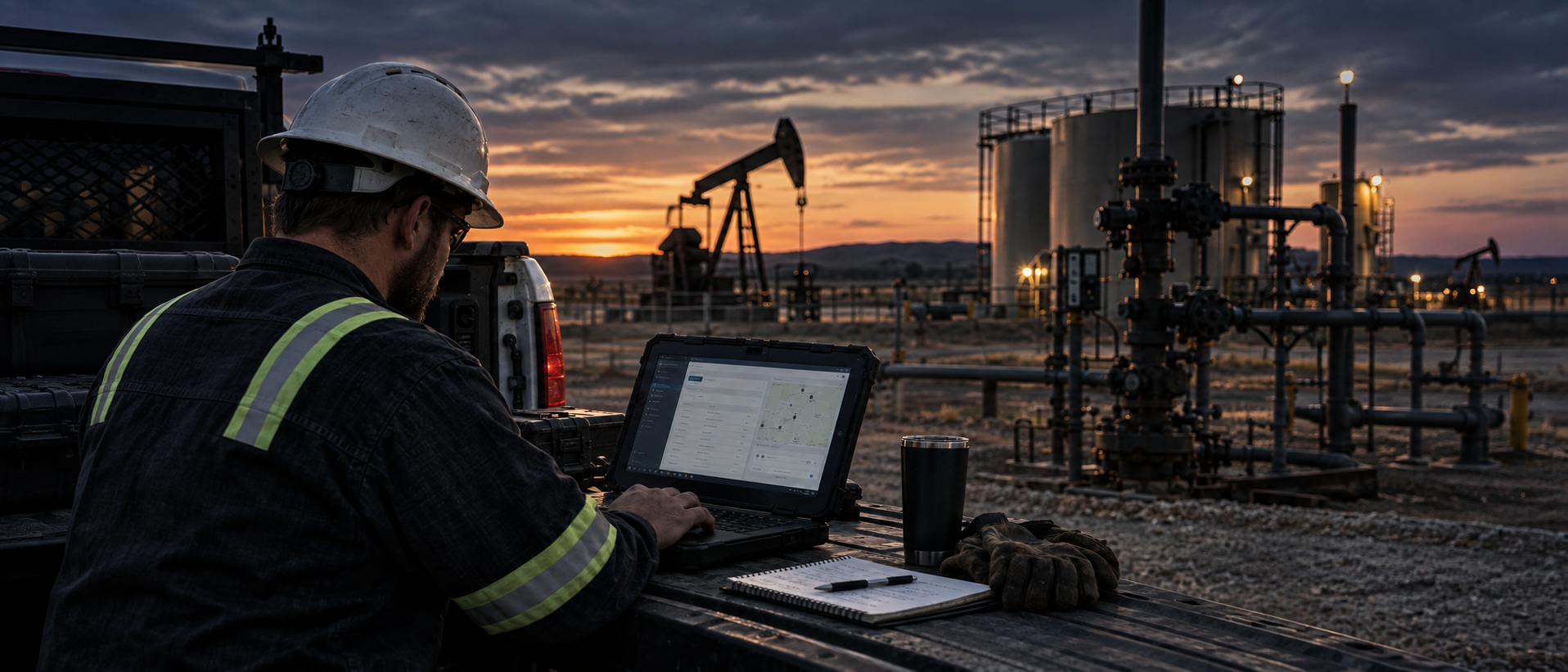
Digital Peaks Aerial is backed by more than 20 years of experience working in field operations, maintenance, automation and measurement, asset management, project execution, and technology systems.
That background brings a practical perspective to aerial work. Inspections, mapping, documentation, and data capture are approached with an understanding of how equipment, facilities, properties, and field operations actually function—not simply how they look from the air.
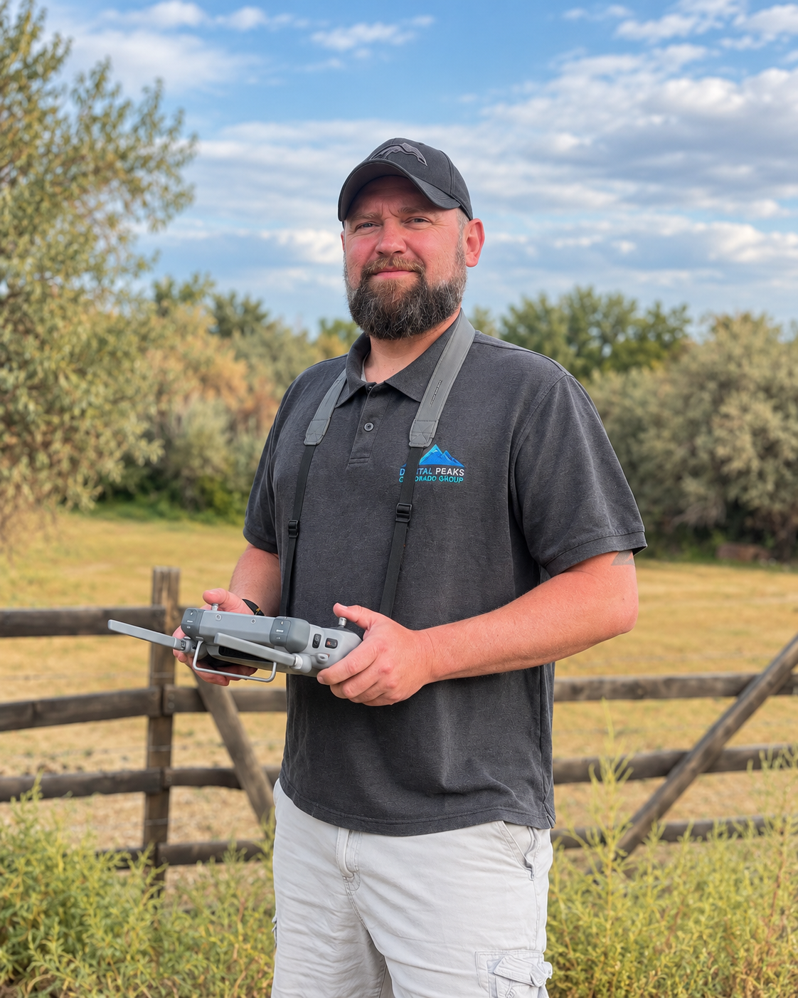
CHAD WALTER | OWNER
Chad Walter brings more than 20 years of hands-on and leadership experience spanning field operations, maintenance, automation and measurement, asset management, project execution, and technology.
Today, that experience is combined with FAA Part 107 drone operations, advanced aerial imaging, photogrammetry, mapping, 3D modeling, thermal imaging, AI tracking, automation, and custom drone technology.
Digital Peaks Aerial was built to provide more than just aerial photographs. The focus is on capturing the right information, solving real problems, and delivering results clients can actually use.
TECHNOLOGY THAT SERVES THE MISSION
Modern drones are capable of much more than photography.
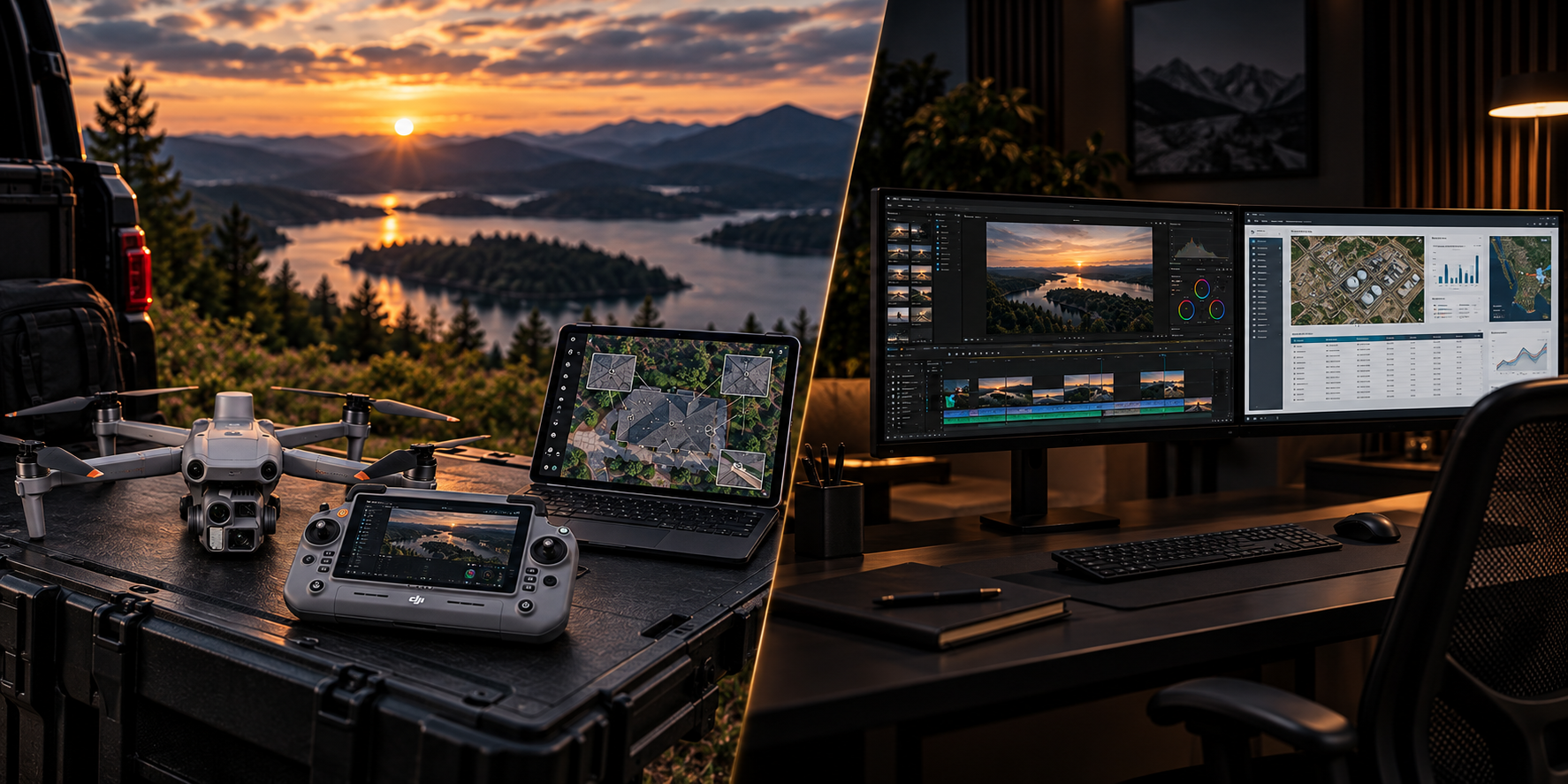
Digital Peaks Aerial uses advanced aircraft, RTK positioning, thermal imaging, mapping and photogrammetry software, AI tracking, automated flight workflows, and custom technology to support specialized projects in the field.
Capabilities can range from a straightforward aerial photo or video project to detailed mapping, inspection, 3D reconstruction, thermal data collection, or development of a custom drone workflow.
AERIAL & VISUAL CAPABILITIES
Digital Peaks Aerial provides professional drone and media services including aerial photography and videography, inspections, mapping, 3D modeling, terrain products, thermal imaging, site documentation, AI tracking, drone automation, and visual media production.
Each project is built around the actual need rather than forcing the work into a predefined package.
WHY DIGITAL PEAKS?
Field Experience — A practical understanding of real-world operations, equipment, properties, and project environments.
Technical Depth — Professional aircraft, imaging systems, mapping tools, RTK, thermal capabilities, automation, and custom development.
Flexible Approach — Services can range from a simple aerial deliverable to a specialized technical workflow.
Direct Accountability — Clients work directly with the person planning, flying, processing, and delivering the project.
LET’S TALK ABOUT WHAT YOU’RE TRYING TO ACCOMPLISH
Not every project fits neatly into a predefined service. Digital Peaks Aerial can help determine the right aircraft, capture method, technology, and deliverables for the job.
LET’S ChAT
Feel free to contact us via email, phone, or fill out our consultation request form to discuss the details for your upcoming project/need. We’re excited to work with you and turn your requirement into an accomplishment!
Digital Peaks Aerial
Email: chad.walter@digitalpeaksaerial.com
Phone: 970.373.9812
Based in Northern Colorado • Travel available depending on project scope